Geography
·
The Map Is Being Redrawn
Medium
7 min
The Map Is Being Redrawn
Measured changes to coastlines, farmland, and livable zones are already redrawing the map.
Share
There are islands that exist on maps today that won't exist in 30 years. Not metaphorically — literally gone, swallowed by the ocean. The people living there aren't waiting for a report. They're already packing.
Geography isn't fixed. Mountains erode. Rivers change course. Coastlines shift. What's different now is the speed. Measured warming since 1900 is compressing geographic transformation — processes that historically unfolded over thousands of years — into a single human lifetime. The world your grandparents grew up in had different coastlines, different farmland, different livable zones than the one you'll retire in. That's not a prediction. It's already happening.
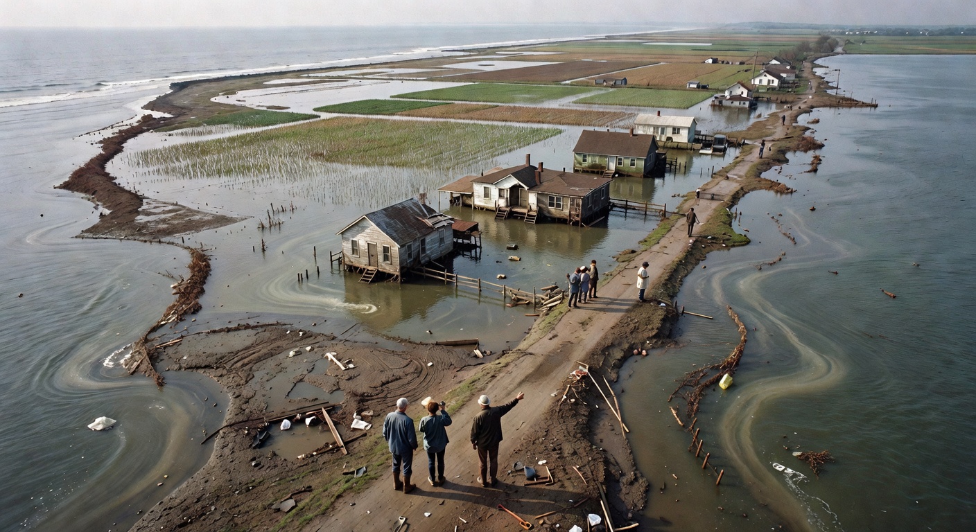
Start with sea level rise, because it's the most literal way a map changes. When oceans rise — and they're rising about 3–4mm per year right now, with the rate accelerating — low-lying land disappears. Bangladesh loses territory. The Maldives, a country of 1,200 islands with an average elevation of 1.5 meters, faces partial or total submersion. Miami's famous Art Deco neighborhoods already flood during high tides with no rain at all. They call it 'sunny day flooding.' The ocean just shows up uninvited. And here's the part that gets complicated: sea level rise isn't uniform. Levels rise faster in some places than others, depending on ocean currents, land subsidence, and gravity. Yes, gravity — melting ice sheets actually change the gravitational pull on nearby water. The ocean is more complicated than it looks.
Make your call
Those islands disappearing from the map — what's the single biggest force redrawing the geography of where humans can actually live? Pick the factor you think matters most.
A
Sea level rise swallowing coastlines and low-lying nations
B
Shifting agricultural zones leaving billions outside stable food regions
C
A combination — rising seas, shifting climate zones, and displacement are all parts of the same redraw
Key Insight
The geography of 'where humans can live comfortably' is shifting. Researchers define a 'human climate niche' — the temperature and humidity range where civilization has historically thrived. Modeling projections suggest that by 2080, under high-emissions scenarios, billions of people could live outside that range. Not outside their country. Outside the conditions humans have built societies in for 6,000 years.
Which brings us to the part that has real geopolitical weight: climate-correlated displacement. A climate migrant is someone displaced not by war or persecution, but by their land becoming unlivable — flooded, drought-ridden, or too hot to survive in. The UN estimates there could be 216 million internal climate migrants by 2050. That's people moving within their own countries, before you even count cross-border movement. For context, the Syrian refugee crisis — which reshaped European politics for a decade — involved about 6 million people crossing borders. Scale that by 30. The political and geographic consequences are significant. Where do 216 million people go? Which cities absorb them? Which borders get reinforced? These aren't abstract questions. They're already being answered in places like the Pacific Islands, coastal Bangladesh, and sub-Saharan Africa.
Example
The Kiribati government — that's a Pacific island nation you've probably never thought about — has already purchased land in Fiji as a backup country. Not a backup plan. Backup land. They're negotiating the possibility that their entire nation-state ceases to physically exist, and they need somewhere for their citizens to legally be. Meanwhile, in Louisiana, the Isle de Jean Charles band of Biloxi-Chitimacha-Choctaw people became the first community in the US to receive federal money to relocate due to climate change. Their island has lost 98% of its land since 1955. These aren't edge cases. They're previews — and they're the answer to why those islands packing their bags aren't waiting for a report. The map is already being redrawn around them.
And then there's the agriculture shift, which might be the most consequential change most people aren't tracking. The crops that feed the world — wheat, rice, corn — are temperature-sensitive. As growing zones shift northward, countries that were never agricultural powers are becoming relevant. Finland is growing crops it couldn't before. Siberian permafrost is thawing into potential farmland. But the transition isn't clean. Thawing permafrost also releases stored carbon, which feeds back into further warming, which melts more permafrost. It's a feedback loop, not a simple trade. Meanwhile, the regions losing agricultural viability — parts of South Asia, sub-Saharan Africa, Central America — are often the least equipped economically to adapt. The countries that contributed least to cumulative emissions are absorbing the most geographic disruption. That tension is already reshaping international politics.
Key Insight
The geography of disruption doesn't map evenly onto the geography of emissions. Measured vulnerability to sea level rise, drought, and heat stress correlates strongly with lower-income regions — places with less infrastructure, less capital, and fewer options to adapt. The geography of vulnerability maps almost perfectly onto the geography of poverty.
Sources
Images from Wikimedia Commons. Attribution required by license.
coastal flooding aerial
Generated by Grok Imagine (xAI), prompt: Generate a single 16:9 horizontal image for an educational lesson.
Lesson title: "The Map Is Being Redrawn" · Measured changes to coastlines, farmland, and livable zones are already redrawing the map.…
NASA -- NASA image by Jesse Allen and Robert Simmon. — Petermann Glacier, Greenland: Image of the Day — 2003-07-05
NASA -- NASA image by Jesse Allen and Robert Simmon. via Internet Archive (Internet Archive)
Identifier: paradiseofpacifi00brow (find matches)
Title: The paradise of the Pacific: the Hawaiian Islands (electronic resource)
Year: 1900 (1900s)
Authors: Browne, George Waldo, 1851-1930
Subjects:
Publisher: Boston, D. Estes & Co
Contributing Library: Brigham Young University Hawaii, Joseph F. Smith Library
Digitizing Sponsor: Consortium of Church Libraries and Archives
View Book Page: Book Viewer
About This Book: Catalog Entry
View All Images: All Images From Book
Click here to view book online to see this illustration in context in a browseable online version of this book.
Text Appearing Before Image:
eformed rock has been clothed in atropical verdure. For an active example of the work of thismighty island builder we have only to turn tothat lateral orifice of Mauna Loa, Kilauea. Withthe exceptions of the brief intervals when anoverflow or breaking out was taking place onthe main mountain, this crater has kept up acontinual exhibition of its internal forces. For aperiod antedating the known history of the islandsthis volcano has been building within, laying itsfoundations deep down in the sea, thickening andstrengthening its walls, until to-day this Houseof Fire, Halemaumau, holds within its compassthe greatest evidence of volcanic energy in theworld. Before that it was different. Barrier afterbarrier must have been broken down, and delugeafter deluge of the fiery floods flung out upon thesurroundings, until the walls had been lifted fourthousand feet above the sea, its present height.Now, when the interior has again been filled withits molten mass, and the surging waves and break-
Text Appearing After Image:
THE ISLAND BUILDER. 227 ers of the burning lake dash over the rim ofthe cone^ or become strong enough to break downits wall^ again will the surrounding country beoverlaid with lava deposits^ each layer adding somuch to the present height of the mighty shell.That this stage is surely coming is foretold bythe gradual rise of the successive exhibits of the rock-consuming forces. The only overflow of Kilauea, so far as isknown^ took place in 1789, while the army ofKeoua was on its march from Hilo to meet Kame-hameha at Kau in a decisive battle for the su-premacy of the island. The course taken by thisbody of warriors led near to the crater, which hadbeen silent longer than any of their priests knew,and as they drew near by night the darkness wassuddenly illumed with dazzling sheets of flame,and such a storm of cinders and rocks fell aboutthe natives that they fled for their lives. Ralliedby their chief in the valley below, for two daysthey were witnesses of a scene which carried ter-ror t
Note About Images
Please note that these images are extracted from scanned page images that may have been digitally enhanced for readability - coloration and appearance of these illustrations may not perfectly resemble the original work.
Internet Archive Book Images · No restrictions
Quiz yourself